Redland Bay & Southern Moreton Bay Islands Aerial Photography | Premium Drone Images Queensland
Explore Redland Bay aerial photography featuring Moreton Bay views, islands, waterways and coastal landscapes.
Professional Queensland aerial images available for licensing.
Click on any photo below to open gallery
Digital images are available to purchase for $75 per image
-
 Jacobs Well Gallery A$75.00
 -
 Cabbage Tree Point Gallery A$75.00


Redland Bay & Southern Moreton Bay Islands Destination Guide
Redland Bay and the Southern Moreton Bay Islands form one of South East Queensland’s most distinctive coastal landscapes. Located south-east of Brisbane within the Redlands Coast, the region combines sheltered waterways, islands, beaches, mangroves, tidal flats and bayside communities.
Redland Bay is an important gateway to the Southern Moreton Bay Islands and provides a contrasting coastal environment to Brisbane’s urban waterfront.
Redland Bay & Weinam Creek
Redland Bay sits on the southern shores of Moreton Bay and is surrounded by waterways, marine infrastructure and island views. Weinam Creek is an important marine gateway, connecting mainland communities with the islands.
From above, the waterways, boats, channels and shoreline create strong patterns and compositions, particularly during early morning and changing tidal conditions.
Southern Moreton Bay Islands
The islands are a defining feature of the region. They include:
-
Coochiemudlo Island
-
Russell Island
-
Macleay Island
-
Lamb Island
-
Karragarra Island
Coochiemudlo Island is particularly distinctive, with sandy beaches, shallow surrounding waters and dense coastal vegetation. The contrast between the island and surrounding Moreton Bay creates striking aerial perspectives.
Victoria Point
Victoria Point provides an important connection between the mainland and Coochiemudlo Island. Its beaches, jetties, waterways and views across Moreton Bay make it a significant part of the Southern Moreton Bay landscape.
Wellington Point & Cleveland Point
Wellington Point is renowned for its tidal connection towards King Island and provides expansive views across Moreton Bay. At low tide, aerial photography can reveal sandbars, tidal channels and patterns in the shallow water.
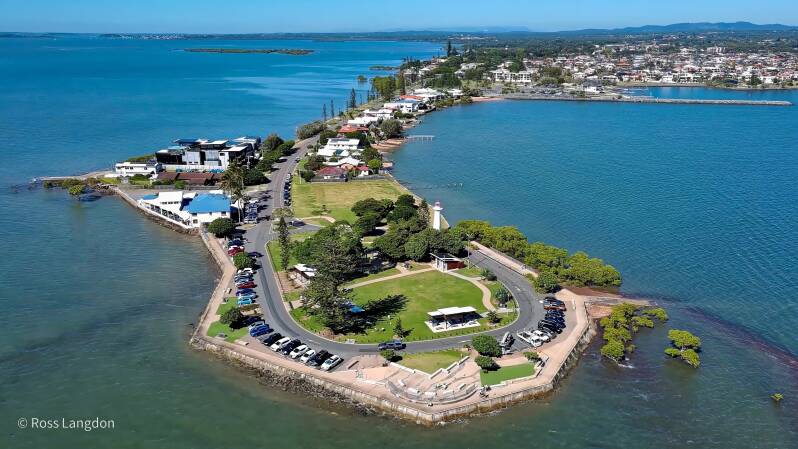
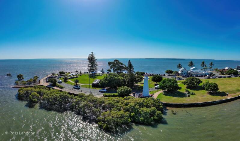
Nearby Cleveland Point combines coastal scenery, the historic lighthouse, rocky shoreline and views towards Moreton Bay and the islands.
Moreton Bay from Above
The region is particularly suited to aerial photography because its appearance changes dramatically with tides, weather and light.
From above, features that are difficult to appreciate from ground level become prominent:
-
Tidal channels and sandbars
-
Island shapes and coastlines
-
Mangrove systems
-
Shallow-water patterns
-
Boats and marine infrastructure
-
Mainland-to-island connections
Sunrise and sunset can add reflections, silhouettes and warm coastal light, while low tide reveals intricate patterns across the bay.
Redland Bay Aerial Photography
Oz Straya Panoramas documents Redland Bay and Southern Moreton Bay through original aerial photography, including Coochiemudlo Island, Wellington Point, Cleveland Point, Jacobs Well and Cabbage Tree Point.
The imagery provides authentic Queensland coastal perspectives suitable for tourism, editorial and publishing, commercial marketing, environmental and educational projects, websites and fine-art applications.
Explore the individual location galleries to discover the Redlands Coast and Southern Moreton Bay from above.