
Scenic Rim Destination Guide
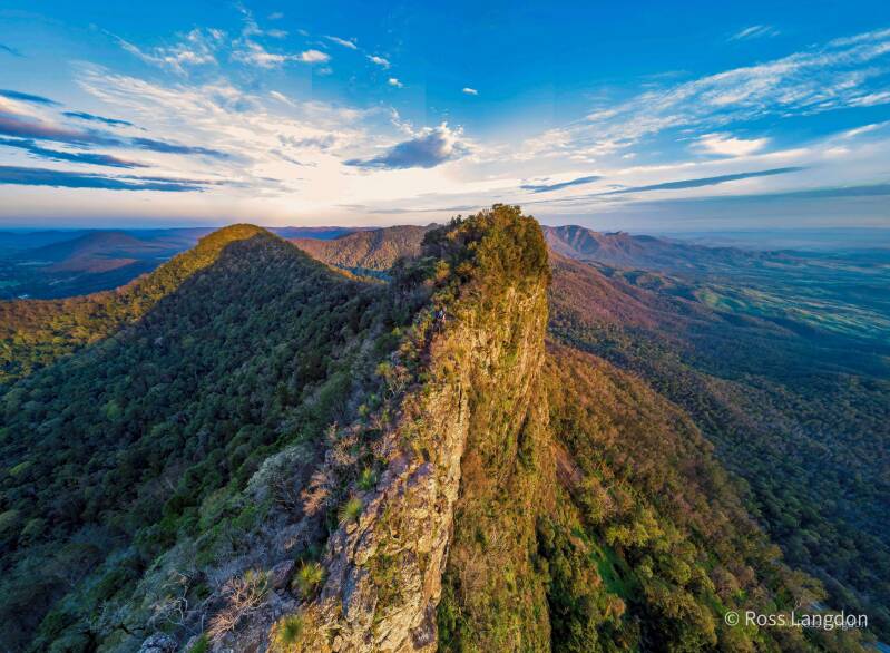
Mount Barney, Mount Lindesay, Mount Mitchell, Mount Cordeaux, Mount French, Queen Mary Falls & Iconic Lookouts from Above
Discover Queensland's Scenic Rim Mountain Landscapes
The Scenic Rim is one of South East Queensland's most spectacular natural destinations, combining ancient volcanic mountains, rainforest-covered ranges, waterfalls, valleys and rural landscapes.
Located between Brisbane, the Gold Coast and Toowoomba, the region is defined by dramatic mountain peaks, national parks, scenic lookouts and fertile countryside. The Scenic Rim's distinctive landscape was shaped by ancient volcanic activity, creating the impressive mountain formations visible throughout the region today.
From above, the Scenic Rim reveals a remarkable landscape of:
-
rugged mountain peaks
-
rainforest-covered ridges
-
deep valleys
-
waterfalls
-
lakes and waterways
-
agricultural patterns
-
dramatic weather systems
Oz Straya Panoramas captures these landscapes through professional aerial photography, showcasing the scale and character of Queensland's mountain country.
This destination guide explores:
-
Mount Barney
-
Mount Lindesay
-
Mount Mitchell
-
Mount Cordeaux
-
Mount French
-
Carr's Lookout
-
Governor's Chair Lookout
-
Queen Mary Falls
The Scenic Rim Landscape
The Scenic Rim is a region where mountains, forests and rural landscapes meet.
Ancient volcanic activity created a series of impressive peaks and ranges that now dominate the surrounding countryside. The area includes important natural environments such as:
-
Main Range National Park
-
Mount Barney National Park
-
Gondwana rainforest areas
-
mountain valleys and rural farmland
From an aerial perspective, the relationship between mountains and valleys becomes one of the defining features of the region.
The landscape changes dramatically with the seasons:
-
summer storms create dramatic skies
-
winter mornings bring mist-filled valleys
-
spring adds vibrant vegetation
-
autumn provides clear mountain views
Mount Barney
The Iconic Mountain of the Scenic Rim
Mount Barney is one of Queensland's most recognisable mountain landmarks.
Located within Mount Barney National Park, the mountain features distinctive twin peaks, rugged ridges and dramatic rocky formations. It is one of the region's most impressive natural features and forms part of an ancient volcanic landscape.
From above, Mount Barney reveals:
-
dramatic summit formations
-
forest-covered slopes
-
surrounding valleys
-
mountain streams
-
connections to nearby peaks
Aerial photography provides a unique perspective of Mount Barney, showing how the mountain rises above the surrounding wilderness.
Best Photography Conditions
Mount Barney is especially impressive during:
-
sunrise
-
winter mornings
-
valley fog
-
dramatic storm conditions
The combination of rugged peaks and changing weather makes it one of the most powerful landscape photography locations in Queensland.
Mount Lindesay
A Distinctive Border Mountain Landmark
Mount Lindesay is one of the most recognisable peaks along the Queensland–New South Wales border.
Its isolated volcanic form creates a dramatic silhouette above the surrounding landscape.
From above, Mount Lindesay showcases:
-
steep mountain faces
-
forested slopes
-
rural valleys
-
distinctive summit formations
-
surrounding Scenic Rim ranges
Together with Mount Barney, Mount Lindesay represents one of the region's most iconic mountain pairings.
The mountain is particularly striking during:
-
golden hour light
-
morning mist
-
dramatic cloud formations
Mount Mitchell
Main Range Mountain Views
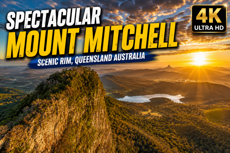
Mount Mitchell is one of the major peaks within Main Range National Park and provides spectacular views across the Scenic Rim.
The mountain landscape features:
-
rainforest-covered slopes
-
mountain ridges
-
deep valleys
-
surrounding ranges
From above, Mount Mitchell demonstrates the scale of the Main Range landscape, revealing layers of mountains extending across Queensland's countryside.
Photography highlights include:
-
cloud-covered ridges
-
sunrise landscapes
-
winter mist
-
dramatic mountain silhouettes
Mount Cordeaux
A Dramatic Scenic Rim Escarpment
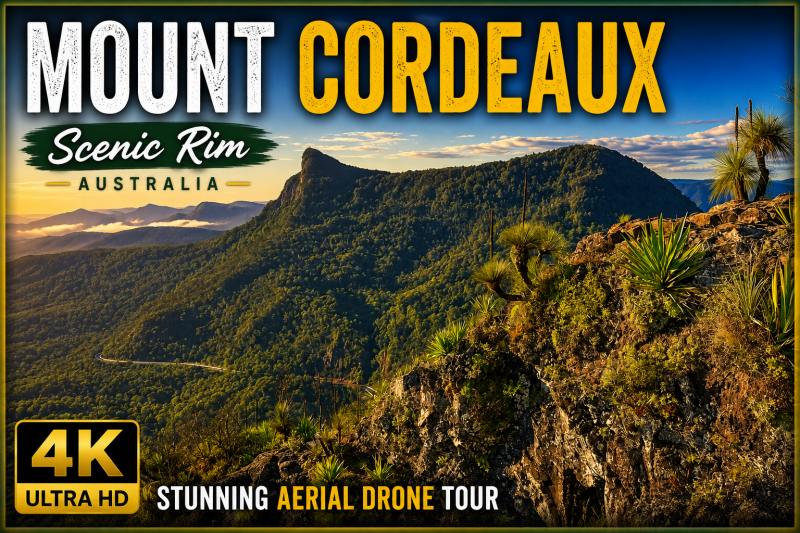
Mount Cordeaux is one of the most recognisable peaks along the Main Range.
Rising above the Cunningham Gap area, the mountain features:
-
steep escarpments
-
rainforest environments
-
rugged ridgelines
-
panoramic valley views
From an aerial perspective, Mount Cordeaux showcases the transition between:
-
mountain wilderness
-
rainforest
-
farmland
-
rural communities
Its distinctive ridgeline creates powerful landscape compositions throughout the year.
Mount French
Rocky Landscapes and Scenic Valley Views
Mount French offers a different perspective of the Scenic Rim landscape.
Located near Boonah, Mount French is known for its rocky formations, scenic viewpoints and views across surrounding countryside.
From above, Mount French reveals:
-
exposed rock formations
-
forested slopes
-
agricultural valleys
-
surrounding mountain landscapes
The mountain is particularly rewarding for aerial photography because of the contrast between natural rock, vegetation and rural landscapes.
Carr's Lookout
Panoramic Views Across the Condamine Valley
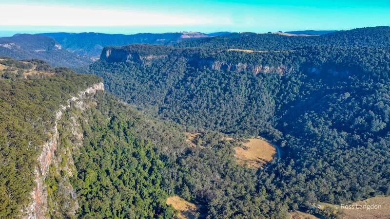
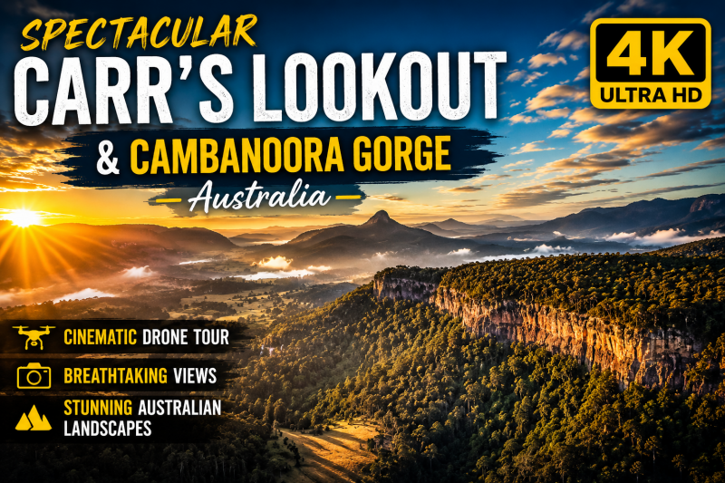
Carr's Lookout is one of the Scenic Rim's most spectacular viewpoints.
Located near Killarney, the lookout provides sweeping views across the Condamine Valley and surrounding mountain ranges.
From above, the landscape reveals:
-
dramatic escarpments
-
rural farmland
-
mountain forests
-
winding valleys
-
distant peaks
Carr's Lookout is ideal for capturing:
-
sunrise landscapes
-
winter fog
-
afternoon golden light
-
storm photography
Governor's Chair Lookout
Views Across Fassifern Valley
Governor's Chair Lookout is one of the most accessible scenic viewpoints in the Scenic Rim.
Located near Main Range National Park, the lookout provides expansive views across:
-
Fassifern Valley
-
Lake Moogerah
-
surrounding mountain ranges
From above, Governor's Chair reveals the connection between:
-
mountains
-
farmland
-
waterways
-
rural landscapes
Best Photography Times
Sunrise
Perfect for:
-
valley mist
-
soft mountain silhouettes
-
warm morning colours
Sunset
Ideal for:
-
glowing ridges
-
layered mountain views
-
dramatic shadows
Queen Mary Falls
Scenic Rim Waterfall and Rainforest Landscape
Queen Mary Falls is one of the region's most beautiful waterfall destinations.
Located within the Main Range National Park area, the falls showcase the connection between rainforest, waterways and mountain landscapes.
From above, Queen Mary Falls reveals:
-
rainforest canopy
-
cascading water
-
steep valleys
-
surrounding mountain terrain
The falls are particularly spectacular after rainfall when water flow increases and the rainforest becomes vibrant green.
Best Photography Conditions
After rain:
-
stronger waterfall flow
-
richer rainforest colours
-
atmospheric mist
Winter mornings:
-
clearer visibility
-
soft light
-
peaceful conditions
Best Scenic Rim Photography Locations
LocationBest FeaturesMount BarneyIconic peaks and wildernessMount LindesayDistinctive mountain silhouetteMount MitchellMain Range landscapesMount CordeauxEscarpments and ridgesMount FrenchRocky landscapes and valleysCarr's LookoutValley panoramasGovernor's ChairFassifern Valley viewsQueen Mary FallsRainforest waterfalls
Best Time for Scenic Rim Photography
Summer
Features:
-
lush vegetation
-
dramatic storms
-
flowing waterfalls
Autumn
Offers:
-
comfortable conditions
-
clear mountain views
Winter
Ideal for:
-
misty valleys
-
mountain silhouettes
-
sunrise photography
Spring
Provides:
-
vibrant landscapes
-
fresh rainforest growth
Frequently Asked Questions
What is the Scenic Rim famous for?
The Scenic Rim is known for ancient mountains, rainforest, waterfalls, national parks, scenic lookouts and rural landscapes.
What are the best photography locations in the Scenic Rim?
Popular locations include Mount Barney, Mount Lindesay, Mount Mitchell, Mount Cordeaux, Mount French, Carr's Lookout, Governor's Chair and Queen Mary Falls.
Is the Scenic Rim good for aerial photography?
Yes. The combination of mountains, valleys, waterfalls and changing weather creates exceptional aerial photography opportunities.
When is the best time to photograph the Scenic Rim?
Sunrise, sunset and winter mornings often provide the most dramatic conditions.
Can Scenic Rim aerial images be purchased?
Yes. High-resolution digital images and commercial licences are available through Oz Straya Panoramas.
Explore More Queensland Landscapes
Continue exploring:
-
Lamington National Park
-
Springbrook National Park
-
Gold Coast Hinterland
-
Tamborine Mountain
-
Glass House Mountains
-
Brisbane Aerial Photography
Experience the Scenic Rim from Above
The Scenic Rim is one of Queensland's most extraordinary landscapes.
From the rugged peaks of Mount Barney and Mount Lindesay to the waterfalls of Queen Mary Falls and the panoramic views from Governor's Chair, the region showcases the incredible diversity of Queensland's mountain country.
Through aerial photography, the true scale of the Scenic Rim becomes visible — revealing the connection between mountains, forests, valleys and the landscapes that surround them.
Commercial Aerial Photography & Licensing
Scenic Rim aerial images are available for:
-
tourism campaigns
-
accommodation marketing
-
editorial publications
-
regional promotion
-
website imagery
-
corporate displays
-
landscape artwork
Professional aerial photography provides a unique perspective of Queensland's mountain landscapes.
Links to Photography Collections
This aerial photography collection was captured by Brisbane-based aerial landscape photographer Ross Langdon, specialising in South East Queensland landscapes including mountains, coastlines, waterways and national parks